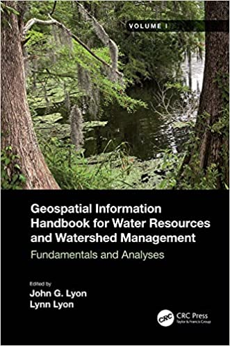
Geospatial Information Handbook for Water Resources and Watershed Management, Volume I Fundamentals and Analyses
English | 2022 | ISBN: 1032006366 | 237 pages | True PDF | 24.6 MB
Volume I of Geospatial Information Handbook for Water Resources and Watershed Management discusses fundamental characteristics, measurements, and analyses of water features and watersheds including lakes and reservoirs, rivers and streams, and coasts and estuaries. It presents contemporary knowledge on Geospatial Technology (GT)–supported functional analyses of water runoff, storage and balance, flooding and floodplains, water quality, soils and moisture, climate vulnerabilities, and ecosystem services.
Captures advanced Geospatial Technologies (GTs) addressing a wide range of water issues