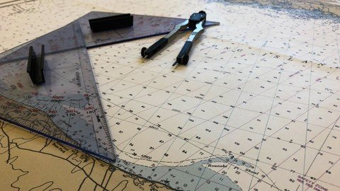
Last updated 6/2021 MP4 | Video: h264, 1280x720 | Audio: AAC, 44.1 KHz Language: English | Size: 2.26 GB | Duration: 1h 46m Using Nautical Tools and Charts to Find Your Way at Sea
What you'll learn How to navigate with a traditional nautical chart and tools Requirements There are no prerequisites! Description In this course, you will learn the basics of how nautical charts are made to represent a portion of the Earth's surface, as well as how to use nautical tools to help you navigate on a chart. You'll learn how to plot your position with latitude and longitude, or with bearings and radar ranges to objects. Finally, you'll begin to understand compasses and magnetism and how they can affect your journey at sea. Overview Section 1: Course and Instructor Introduction Lecture 1 Welcome to the Course! Section 2: What is a Nautical Chart? Lecture 2 All About Nautical Charts Section 3: Using Nautical Tools Lecture 3 Using dividers Lecture 4 Using Rolling Rulers and Triangles Lecture 5 Fundamentals of Speed, Distance, and Time Section 4: Navigating on a Nautical Chart Lecture 6 Plotting Position with Latitude and Longitude Lecture 7 Plotting Position with Radar Ranges Lecture 8 Plotting Position with Visual Bearings Lecture 9 Broadening Your Understanding with Compasses and Magnetism Section 5: End of the Course Lecture 10 Where to go next! Boaters,Sailors,Junior professional mariners