ContextCapture Desktop CONNECT Edition Update 20 (10.20.0.4145) | 2.9 Gb
Product:ContextCapture
Version:Desktop CONNECT Edition Update 20 (10.20.0.4145)
Supported Architectures:x64
Website Home Page :www.bentley.com
Languages Supported:multilanguage
System Requirements:Windows *
Size:2.9 Gb
Languages Supported: english & 日本語
The ContextCapture development team is pleased to announce the availability of ContextCapture CONNECT Edition Update 20 (10.20.0.4145). Improve the quality of your deliverables, better monitor your job progress, and enjoy several user interface improvements for a better usability with latest release.
ContextCapture CONNECT Edition Update 20 - v10.20.0
- Aerotriangulation Rigid registration fine adjustments: possibility to individually manage the position, orientation and scale of the scene based on different metadata (GCPs, User constraints, position metadata).
- Reconstruction spatial framework UI improved
- New region of interest polygon drawing tool
- New UI for error feedback
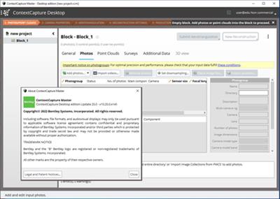
- New UI to display the list of the tasks that are currently being processed with useful information: task name, host name, duration.
- New architecture for error feedback: improved message and facilitate issue resolution
- Polygon tool to draw manually reconstruction region of interest
- Tool to export and import reconstruction parameters
- Clear metadata / clear pose / set pose now available directly in the 3D with a right click on the thumbnails
- Support of UNICODE character in project path and file names.
- New option to use machine learning for automatic color correction of input photos.
- ESRI i3s version: now producing version 1.8, also compatible with applications supporting version 1.6.
- Addition of Local cartesian SRS in Foot and Foot US in the spatial reference system database
- Addition of HS2_Grid_2015 (EPSG:9300) and HS2_Grid_2002 (EPSG:9301) in the spatial reference system database
- Addition of HS2-VRF vertical grid (EPSG:9303) in the spatial reference system database
- Accuracy check and warnings about the support of the selected spatial reference system in other Bentley applications, for a production in Scalable Mesh, POD or 3MX format.
- Annotations: 3D Lines
- Annotations: 2D Lines
- Interface: Annotations available in Orbit 3DM run export
- Reconstruction: Ability to set horizontal plane for automatic water constraints
ContextCapture CONNECT Edition Update 20 (10.20.0.4145)
ContextCapture input data limitations have been removed. Work at any scale with ContextCapture Edition ! (version 10.20.0.4145)
- ContextCapture projects are no longer limited to 300Gpix of input photos and 3Tb of input point cloud points.
- ContextCapture Center projects can now be openned with ContextCapture.
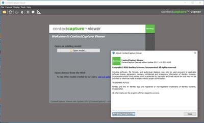
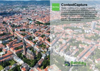
ContextCaptureproduces high resolution 3D models from simple photographs, without any human intervention. To achieve this, ContextCapture uses cutting edge photogrammetry, computer vision and computational geometry algorithms fulfilling industrial-quality requirements in terms of precision, scalability, efficiency, usage, robustness and interoperability.
ContextCapture Vieweris a visualization software that navigates 3D models generated by the Bentley Systems ContextCapture solution. ContextCapture Viewer loads and displays 3D models using level-of-detail LOD, paging and streaming. Users can measure distances, pick GPS coordinates, generate animations,...
ContextCapture CONNECT Edition - Update 20
Improve your user experience and streamline your workflow with ContextCapture CONNECT Edition - Update 20
Bentley Systems, Incorporated.is the global leader dedicated to providing architects, engineers, constructors, and owner-operators with comprehensive architecture and engineering software solutions for sustaining infrastructure. Founded in 1984, Bentley has nearly 3,000 colleagues in more than 45 countries, $500 million in annual revenues, and, since 2001, has invested more than $1 billion in research, development, and acquisitions.
